Waterfalls below.
Mountains above.
A field guide for Bryson City and the southern Smokies. Start with your saved places, then explore a few worthwhile discoveries.
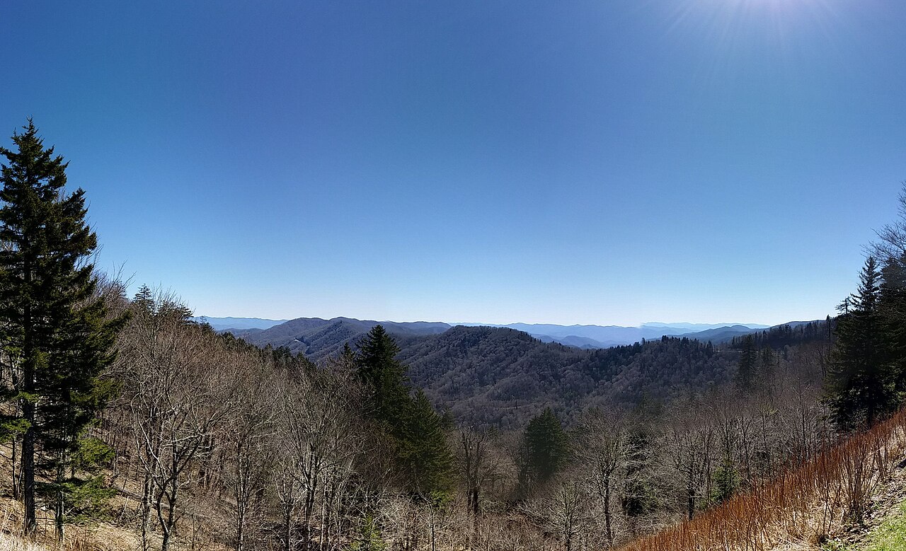
Great Smoky Mountains panorama · Tetra09 · CC BY-SA 4.0
Choose your kind of day
Short hikes
Short walks, waterfalls & tower climbs
Longer hikes
Forest loops & mountain overlooks
Sightseeing
Views, history & Cherokee culture
Food & drink
Saved stops along the routes
Keep the clearest day for Kuwohi and Andrews Bald. Use Deep Creek or Cherokee when clouds hide the summits. Longer hikes get their own days; choose plans around your weather, time and energy.
These are recommendations with no dates assigned. Every day plan starts and ends at 690 Amelias Bluff, Bryson City, NC 28713. Road mileage and one-way drive ranges use this cabin as the base; allow extra time for mountain roads, parking and October traffic.
Parking for more than 15 minutes in the national park needs a vehicle tag: $5 daily / $15 weekly / $40 annual. An America the Beautiful pass does not replace it. Mingus Mill and Laurel Falls are currently closed. Recheck roads before high-country drives; late October can bring ice and cold above the valleys.
Your list and the research
Reviewed 22 saved Google Maps pins. The guide includes 20 saved attractions: the two Juney Whank pins are combined, and the lodging pin is used as the route base. Fourteen additions broaden the routes. A saved place’s specific hiking route may have been researched separately.
Photos are authentic location images with source credits. The mountain panorama illustrates the Smokies; it is not a forecast or a photograph of next week’s foliage.